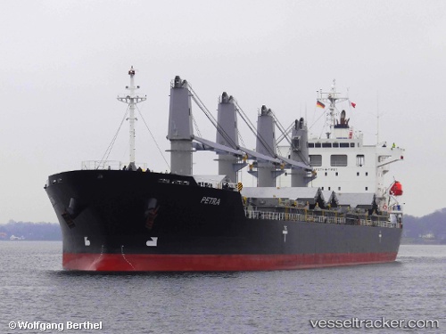
 PETRA
PETRA
Current Status
Where is the vessel?
PETRA is currently in 21 nm SW of Piriápolis, based on AIS data received about 15h ago.
Latest AIS update:
Current position: 35.17783° S, 55.46665° W (21 nm SW of Piriápolis)
Average speed (last 7 days): Loading…
Average speed (last 30 days): Loading…
Vessel profile: PETRA is a General Cargo Ship with dimensions 29m x 180m.
This page combines live AIS, route history, probable destination signals, nearby traffic, and port activity for practical vessel monitoring.
The current position of vessel PETRA is -35.17783 lat / -55.46665 lng. Updated: 2026-05-22 19:56:11 UTCNearest reference points:
- 12 nm S of Piriápolis
- 21 nm E of PUNTA DEL ESTE
- 16 nm N of Cabo San Antonio
Currently sailing under the flag of Marshall Islands ![]()
PETRA built in 2011 year
Deadweight:
33688 tDetails:
Live Vessel PETRA Analytics (details, animations, etc.)
Recent AIS points (UTC):
2026-05-22 16:15:34 UTC · -35.17688, -55.46558 · SOG 0.1 kn · COG 151°2026-05-22 18:14:11 UTC · -35.17718, -55.46613 · SOG 0.1 kn · COG 135°
2026-05-22 19:12:33 UTC · -35.17706, -55.46608 · SOG 0 kn · COG 142°
2026-05-22 19:56:11 UTC · -35.17783, -55.46665 · SOG 0.4 kn · COG 122°