 TONDA
TONDA
Current Status
Where is the vessel?
TONDA is currently in 65 nm S of Balhaf, based on AIS data received about 15h ago.
Latest AIS update:
Current position: 12.90551° N, 48.00918° E (65 nm S of Balhaf)
Average speed (last 7 days): Loading…
Average speed (last 30 days): Loading…
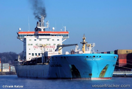
Vessel profile: TONDA is a Chemical/Oil Products Tanker with dimensions 186m x 186m.
This page combines live AIS, route history, probable destination signals, nearby traffic, and port activity for practical vessel monitoring.
The current position of vessel TONDA is 12.90551 lat / 48.00918 lng. Updated: 2026-05-19 06:29:59 UTCCurrently sailing under the flag of Marshall Islands ![]()
TONDA built in 2005 year
Deadweight:
36803 tDetails:
Live Vessel TONDA Analytics (details, animations, etc.)
Recent AIS points (UTC):
2026-05-19 04:10:49 UTC · 13.05462, 48.48880 · SOG 12.9 kn · COG 251°2026-05-19 06:21:32 UTC · 12.91428, 48.03842 · SOG 12.6 kn · COG 255°
2026-05-19 06:29:59 UTC · 12.90551, 48.00918 · SOG 12.7 kn · COG 255°
2026-05-19 06:29:59 UTC · 12.90551, 48.00918 · SOG 12.7 kn · COG 255°