 COMMON ATLAS
Current Status
Where is the vessel?
COMMON ATLAS is currently in 54 nm NE of PANGKAL BALAM, based on AIS data received about 15h ago.
Latest AIS update:
Current position: 1.30116° S, 106.54623° E (54 nm NE of PANGKAL BALAM)
Average speed (last 7 days): Loading…
Average speed (last 30 days): Loading…
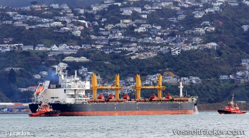
Vessel profile: COMMON ATLAS is a Bulk Carrier with dimensions 200m x 200m.
This page combines live AIS, route history, probable destination signals, nearby traffic, and port activity for practical vessel monitoring.
The current position of vessel COMMON ATLAS is -1.30116 lat / 106.54623 lng. Updated: 2026-05-19 09:26:37 UTCNearest reference points:
- 69 nm NE of Exspan
- Near PANGKAL BALAM
- 46 nm NW of Tanjung Pandan
Currently sailing under the flag of Marshall Islands ![]()
COMMON ATLAS built in 2014 year
Deadweight:
62985 tDetails:
Live Vessel COMMON ATLAS Analytics (details, animations, etc.)
Recent AIS points (UTC):
2026-05-19 01:45:05 UTC · 0.16362, 105.61341 · SOG 12.5 kn · COG 152°2026-05-19 09:26:37 UTC · -1.30116, 106.54623 · SOG 13.9 kn · COG -1°
2026-05-19 09:26:37 UTC · -1.30116, 106.54623 · SOG 13.9 kn · COG -1°
2026-05-19 09:26:37 UTC · -1.30116, 106.54623 · SOG 13.9 kn · COG -1°