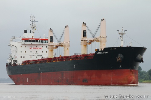
 LIBERTY BAY
Current Status
Where is the vessel?
LIBERTY BAY is currently in 32 nm NW of Gharb, based on AIS data received about 14h ago.
Latest AIS update:
Current position: 36.52466° N, 13.91738° E (32 nm NW of Gharb)
Average speed (last 7 days): Loading…
Average speed (last 30 days): Loading…
Vessel profile: LIBERTY BAY is a Bulk Carrier with dimensions 186m x 28m.
This page combines live AIS, route history, probable destination signals, nearby traffic, and port activity for practical vessel monitoring.
The current position of vessel LIBERTY BAY is 36.52466 lat / 13.91738 lng. Updated: 2026-05-19 10:04:20 UTCNearest reference points:
- Near Gela
- 17 nm S of Marina di Ragusa
- Near Licata
Currently sailing under the flag of Marshall Islands ![]()
LIBERTY BAY built in 2012 year
Deadweight:
36892 tDetails:
Live Vessel LIBERTY BAY Analytics (details, animations, etc.)
Recent AIS points (UTC):
2026-05-19 06:03:09 UTC · 36.27804, 14.76045 · SOG 11 kn · COG 292°2026-05-19 07:56:31 UTC · 36.38248, 14.35738 · SOG 10.8 kn · COG 297°
2026-05-19 08:05:58 UTC · 36.39381, 14.32544 · SOG 10.8 kn · COG 297°
2026-05-19 10:04:20 UTC · 36.52466, 13.91738 · SOG 10.9 kn · COG 292°