 MANTA CICEK
Current Status
Where is the vessel?
MANTA CICEK is currently in 19 nm S of Santaella, based on AIS data received about 14h ago.
Latest AIS update:
Current position: 37.27612° N, 5.00032° E (19 nm S of Santaella)
Average speed (last 7 days): Loading…
Average speed (last 30 days): Loading…
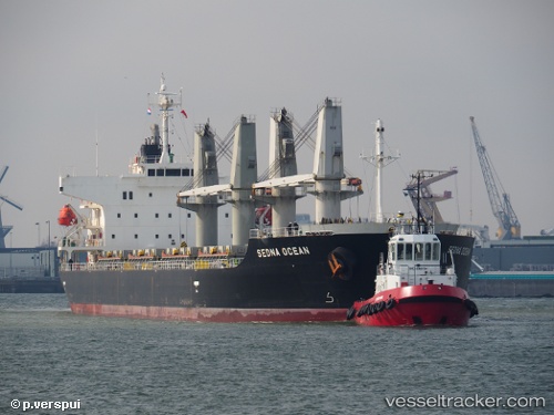
Vessel profile: MANTA CICEK is a Bulk Carrier with dimensions 175m x 29m.
This page combines live AIS, route history, probable destination signals, nearby traffic, and port activity for practical vessel monitoring.
The current position of vessel MANTA CICEK is 37.27612 lat / 5.00032 lng. Updated: 2026-05-20 23:26:05 UTCNearest reference points:
- Near Bejaia
- Near Carmona
- Near Zamoranos
Currently sailing under the flag of Marshall Islands ![]()
MANTA CICEK built in 2011 year
Deadweight:
31997 tDetails:
Live Vessel MANTA CICEK Analytics (details, animations, etc.)
Recent AIS points (UTC):
2026-05-20 19:01:46 UTC · 37.20220, 4.02480 · SOG 10 kn · COG 90°2026-05-20 22:01:45 UTC · 37.24960, 4.68194 · SOG 11 kn · COG 82°
2026-05-20 23:03:45 UTC · 37.26910, 4.91811 · SOG 10.7 kn · COG 84°
2026-05-20 23:26:05 UTC · 37.27612, 5.00032 · SOG 10.4 kn · COG 92°