 LA LOUISE
Current Status
Where is the vessel?
LA LOUISE is currently in Open sea, approx. 434 nm off the nearest listed port, based on AIS data received about 26d ago.
Latest AIS update:
Current position: 39.82354° N, 157.67902° E (Open sea, approx. 434 nm off the nearest listed port)
Average speed (last 7 days): Loading…
Average speed (last 30 days): Loading…
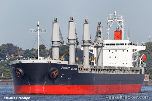
Vessel profile: LA LOUISE is a General Cargo Ship with dimensions 178m x 28m.
This page combines live AIS, route history, probable destination signals, nearby traffic, and port activity for practical vessel monitoring.
The current position of vessel LA LOUISE is 39.82354 lat / 157.67902 lng. Updated: 2026-04-26 11:17:53 UTCNearest reference points:
- Open sea, approx. 434 nm off the nearest listed port
- Open sea, approx. 435 nm off the nearest listed port
- Open sea, approx. 437 nm off the nearest listed port
Currently sailing under the flag of Marshall Islands ![]()
LA LOUISE built in 2012 year
Deadweight:
37207 tDetails:
Live Vessel LA LOUISE Analytics (details, animations, etc.)
Recent AIS points (UTC):
2026-04-26 11:17:53 UTC · 39.82354, 157.67902 · SOG 58.8 kn · COG 187°2026-04-26 11:17:53 UTC · 39.82354, 157.67902 · SOG 58.8 kn · COG 187°
2026-04-26 11:17:53 UTC · 39.82354, 157.67902 · SOG 58.8 kn · COG 187°
2026-04-26 11:17:53 UTC · 39.82354, 157.67902 · SOG 58.8 kn · COG 187°
2026-04-26 11:17:53 UTC · 39.82354, 157.67902 · SOG 58.8 kn · COG 187°