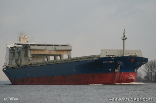
 HERANGER
Current Status
Where is the vessel?
HERANGER is currently in 21 nm SW of Parit Raja, based on AIS data received about 14h ago.
Latest AIS update:
Current position: 1.68532° N, 102.82365° E (21 nm SW of Parit Raja)
Average speed (last 7 days): Loading…
Average speed (last 30 days): Loading…
Vessel profile: HERANGER is a General Cargo Ship with dimensions 31m x 214m.
This page combines live AIS, route history, probable destination signals, nearby traffic, and port activity for practical vessel monitoring.
The current position of vessel HERANGER is 1.68532 lat / 102.82365 lng. Updated: 2026-05-18 23:37:38 UTCNearest reference points:
- 29 nm W of Parit Raja
- 12 nm S of Tangkak
- 17 nm NE of Perawang
Currently sailing under the flag of Marshall Islands ![]()
HERANGER built in 1995 year
Deadweight:
50198 tDetails:
Live Vessel HERANGER Analytics (details, animations, etc.)
Recent AIS points (UTC):
2026-05-18 19:33:56 UTC · 1.19821, 103.59761 · SOG 11.8 kn · COG 276°2026-05-18 19:33:56 UTC · 1.19821, 103.59761 · SOG 11.8 kn · COG 276°
2026-05-18 22:22:48 UTC · 1.55052, 103.07816 · SOG 14.3 kn · COG -1°
2026-05-18 23:37:38 UTC · 1.68532, 102.82365 · SOG 13.7 kn · COG 291°