 P. SOPHIA
Current Status
Where is the vessel?
P. SOPHIA is currently in Near Mengkofen, based on AIS data received about 14h ago.
Latest AIS update:
Current position: 48.80047° N, 123.00442° W (Near Mengkofen)
Average speed (last 7 days): Loading…
Average speed (last 30 days): Loading…
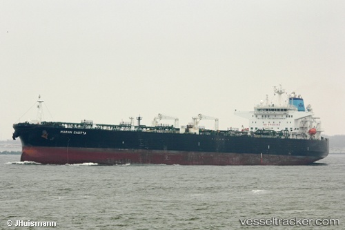
Vessel profile: P. SOPHIA is a Crude Oil Tanker with dimensions 244m x 244m.
This page combines live AIS, route history, probable destination signals, nearby traffic, and port activity for practical vessel monitoring.
The current position of vessel P. SOPHIA is 48.80047 lat / -123.00442 lng. Updated: 2026-05-21 10:08:47 UTCNearest reference points:
- Near White Rock
- Near ORCAS
- Near Deer Harbor
Currently sailing under the flag of Marshall Islands ![]()
P. SOPHIA built in 2009 year
Deadweight:
105071 tDetails:
Live Vessel P. SOPHIA Analytics (details, animations, etc.)
Recent AIS points (UTC):
2026-05-21 07:38:18 UTC · 48.38655, -123.24742 · SOG 12.4 kn · COG 60°2026-05-21 07:46:06 UTC · 48.39940, -123.21343 · SOG 12.3 kn · COG 40°
2026-05-21 10:04:13 UTC · 48.78754, -123.02156 · SOG 13.2 kn · COG 39°
2026-05-21 10:08:47 UTC · 48.80047, -123.00442 · SOG 12.6 kn · COG 10°