 PREMIERSHIP
Current Status
Where is the vessel?
PREMIERSHIP is currently in Open sea (no nearby ports in database), based on AIS data received about 14h ago.
Latest AIS update:
Current position: 16.51167° S, 3.73667° E (Open sea (no nearby ports in database))
Average speed (last 7 days): Loading…
Average speed (last 30 days): Loading…
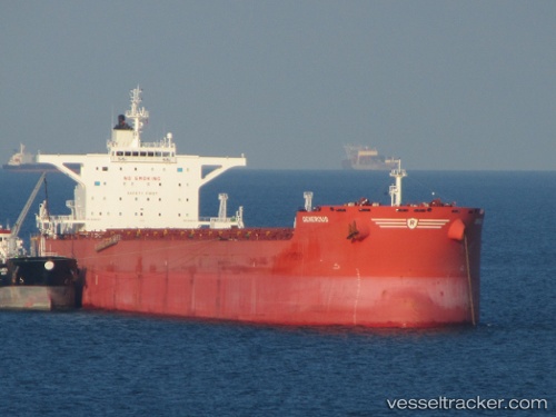
Vessel profile: PREMIERSHIP is a Bulk Carrier with dimensions m x m.
This page combines live AIS, route history, probable destination signals, nearby traffic, and port activity for practical vessel monitoring.
The current position of vessel PREMIERSHIP is -16.51167 lat / 3.73667 lng. Updated: 2026-05-21 07:48:30 UTCNearest reference points:
- Open sea (no nearby ports in database)
Currently sailing under the flag of Marshall Islands ![]()
Details:
Live Vessel PREMIERSHIP Analytics (details, animations, etc.)
Recent AIS points (UTC):
2026-05-21 04:28:51 UTC · -16.99690, 4.12320 · SOG 10.8 kn · COG 322°2026-05-21 05:54:29 UTC · -16.78667, 3.95833 · SOG 11 kn · COG -1°
2026-05-21 07:08:23 UTC · -16.60781, 3.81606 · SOG 10.8 kn · COG 321°
2026-05-21 07:48:30 UTC · -16.51167, 3.73667 · SOG 10 kn · COG -1°