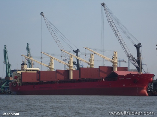
 FEDERAL KIBUNE
Current Status
Where is the vessel?
FEDERAL KIBUNE is currently in 24 nm SW of El Albujon, based on AIS data received about 14h ago.
Latest AIS update:
Current position: 37.50876° N, 0.60279° E (24 nm SW of El Albujon)
Average speed (last 7 days): Loading…
Average speed (last 30 days): Loading…
Vessel profile: FEDERAL KIBUNE is a Bulk Carrier with dimensions m x m.
This page combines live AIS, route history, probable destination signals, nearby traffic, and port activity for practical vessel monitoring.
The current position of vessel FEDERAL KIBUNE is 37.50876 lat / 0.60279 lng. Updated: 2026-05-23 02:00:59 UTCNearest reference points:
- 50 nm N of Mostaganem
- Near Villajoyosa
- Near Ventas de Pedreguer
Currently sailing under the flag of Marshall Islands ![]()
Details:
Live Vessel FEDERAL KIBUNE Analytics (details, animations, etc.)
Recent AIS points (UTC):
2026-05-22 23:09:33 UTC · 37.32825, 0.15320 · SOG 7.9 kn · COG 63°2026-05-22 23:27:43 UTC · 37.34687, 0.20053 · SOG 8.4 kn · COG 65°
2026-05-23 01:59:14 UTC · 37.50682, 0.59802 · SOG 8.4 kn · COG 65°
2026-05-23 02:00:59 UTC · 37.50876, 0.60279 · SOG 8.4 kn · COG 65°