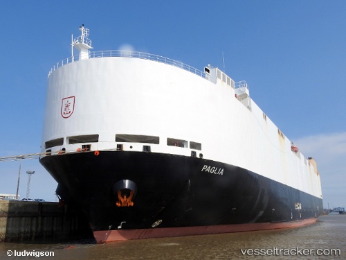
 VIKING PAGLIA
Current Status
Where is the vessel?
VIKING PAGLIA is currently in 23 nm SE of Jervis Bay, based on AIS data received about 14h ago.
Latest AIS update:
Current position: 35.32605° S, 151.07675° E (23 nm SE of Jervis Bay)
Average speed (last 7 days): Loading…
Average speed (last 30 days): Loading…
Vessel profile: VIKING PAGLIA is a Vehicles Carrier with dimensions m x m.
This page combines live AIS, route history, probable destination signals, nearby traffic, and port activity for practical vessel monitoring.
The current position of vessel VIKING PAGLIA is -35.32605 lat / 151.07675 lng. Updated: 2026-05-22 23:41:08 UTCNearest reference points:
- Near Jervis Bay
- 49 nm SE of Gerringong
- Near Sydenham
Currently sailing under the flag of Marshall Islands ![]()
Details:
Live Vessel VIKING PAGLIA Analytics (details, animations, etc.)
Recent AIS points (UTC):
2026-05-22 19:23:50 UTC · -34.45583, 150.89154 · SOG 0 kn · COG 288°2026-05-22 22:04:02 UTC · -34.87000, 151.11597 · SOG 17.1 kn · COG 171°
2026-05-22 22:53:38 UTC · -35.10313, 151.13803 · SOG 17.2 kn · COG 181°
2026-05-22 23:41:08 UTC · -35.32605, 151.07675 · SOG 18.1 kn · COG 195°