 YELLOW TRADER
Current Status
Where is the vessel?
YELLOW TRADER is currently in 130 nm W of Tinaquillo, based on AIS data received about 15h ago.
Latest AIS update:
Current position: 10.26833° N, 66.13833° E (130 nm W of Tinaquillo)
Average speed (last 7 days): Loading…
Average speed (last 30 days): Loading…
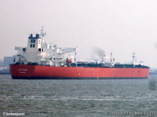
Vessel profile: YELLOW TRADER is a Crude Oil Tanker with dimensions m x m.
This page combines live AIS, route history, probable destination signals, nearby traffic, and port activity for practical vessel monitoring.
The current position of vessel YELLOW TRADER is 10.26833 lat / 66.13833 lng. Updated: 2026-05-19 05:38:32 UTCNearest reference points:
- 98 nm S of Tinaquillo
Currently sailing under the flag of Marshall Islands ![]()
Details:
Live Vessel YELLOW TRADER Analytics (details, animations, etc.)
Recent AIS points (UTC):
2026-05-19 01:26:36 UTC · 9.91167, 66.91333 · SOG 12 kn · COG -1°2026-05-19 03:05:36 UTC · 10.05667, 66.60667 · SOG 12 kn · COG -1°
2026-05-19 04:47:35 UTC · 10.20167, 66.29500 · SOG 11 kn · COG -1°
2026-05-19 05:38:32 UTC · 10.26833, 66.13833 · SOG 12 kn · COG -1°