 TEH TAICHUNG
Current Status
Where is the vessel?
TEH TAICHUNG is currently in 310 nm NW of Diego Garcia, based on AIS data received about 15h ago.
Latest AIS update:
Current position: 4.23333° S, 68.30167° E (310 nm NW of Diego Garcia)
Average speed (last 7 days): Loading…
Average speed (last 30 days): Loading…
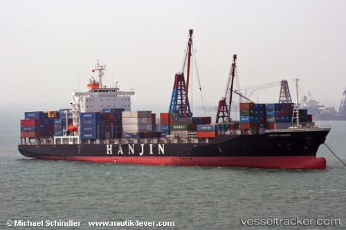
Vessel profile: TEH TAICHUNG is a Container Ship with dimensions m x m.
This page combines live AIS, route history, probable destination signals, nearby traffic, and port activity for practical vessel monitoring.
The current position of vessel TEH TAICHUNG is -4.23333 lat / 68.30167 lng. Updated: 2026-05-19 10:18:08 UTCNearest reference points:
- 147 nm W of Diego Garcia
Currently sailing under the flag of Marshall Islands ![]()
Details:
Live Vessel TEH TAICHUNG Analytics (details, animations, etc.)
Recent AIS points (UTC):
2026-05-19 07:39:09 UTC · -4.00167, 68.90167 · SOG 14 kn · COG -1°2026-05-19 07:51:11 UTC · -4.02000, 68.85667 · SOG 14 kn · COG -1°
2026-05-19 10:09:44 UTC · -4.22146, 68.33473 · SOG 14.8 kn · COG 249°
2026-05-19 10:18:08 UTC · -4.23333, 68.30167 · SOG 15 kn · COG -1°