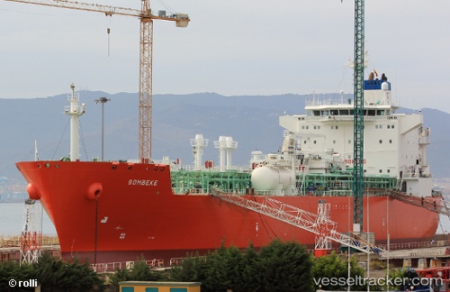
 SOMBEKE
Current Status
Where is the vessel?
SOMBEKE is currently in 71 nm W of Callao, based on AIS data received about 14h ago.
Latest AIS update:
Current position: 11.96167° S, 78.36666° W (71 nm W of Callao)
Average speed (last 7 days): Loading…
Average speed (last 30 days): Loading…
Vessel profile: SOMBEKE is a Lpg Tanker with dimensions m x m.
This page combines live AIS, route history, probable destination signals, nearby traffic, and port activity for practical vessel monitoring.
The current position of vessel SOMBEKE is -11.96167 lat / -78.36666 lng. Updated: 2026-05-22 07:53:25 UTCNearest reference points:
- 43 nm SW of Barranca
- 125 nm SW of Supe Bay
- Near Callao
Currently sailing under the flag of Marshall Islands ![]()
Details:
Live Vessel SOMBEKE Analytics (details, animations, etc.)
Recent AIS points (UTC):
2026-05-22 04:41:51 UTC · -12.53169, -77.98245 · SOG 12.7 kn · COG 325°2026-05-22 06:17:06 UTC · -12.25500, -78.18667 · SOG 13 kn · COG -1°
2026-05-22 07:17:18 UTC · -12.07167, -78.29667 · SOG 13 kn · COG -1°
2026-05-22 07:53:25 UTC · -11.96167, -78.36666 · SOG 13 kn · COG -1°