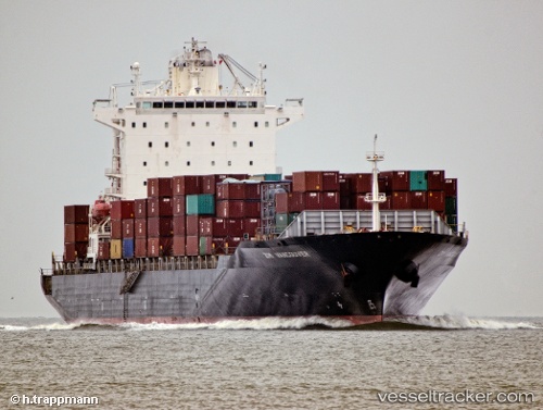
 VANCOUVER STAR
Current Status
Where is the vessel?
VANCOUVER STAR is currently in 16 nm E of Ceuta, based on AIS data received about 15h ago.
Latest AIS update:
Current position: 35.92649° N, 4.98654° W (16 nm E of Ceuta)
Average speed (last 7 days): Loading…
Average speed (last 30 days): Loading…
Vessel profile: VANCOUVER STAR is a Container Ship with dimensions m x m.
This page combines live AIS, route history, probable destination signals, nearby traffic, and port activity for practical vessel monitoring.
The current position of vessel VANCOUVER STAR is 35.92649 lat / -4.98654 lng. Updated: 2026-05-21 13:34:41 UTCNearest reference points:
- 30 nm E of Ceuta
- Near Waterport
- Near Algeciras
Currently sailing under the flag of Marshall Islands ![]()
Details:
Live Vessel VANCOUVER STAR Analytics (details, animations, etc.)
Recent AIS points (UTC):
2026-05-21 11:07:00 UTC · 35.89878, -4.99117 · SOG 0.3 kn · COG 162°2026-05-21 12:27:31 UTC · 35.91192, -4.99210 · SOG 0.8 kn · COG 109°
2026-05-21 13:11:30 UTC · 35.92158, -4.98837 · SOG 0.6 kn · COG 142°
2026-05-21 13:34:41 UTC · 35.92649, -4.98654 · SOG 0.9 kn · COG 130°