 HAATO
HAATO
Current Status
Where is the vessel?
HAATO is currently in Near Alexandria, based on AIS data received about 14h ago.
Latest AIS update:
Current position: 31.16926° N, 29.85501° E (Near Alexandria)
Average speed (last 7 days): Loading…
Average speed (last 30 days): Loading…
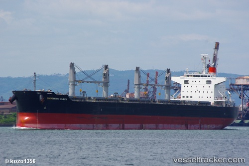
Vessel profile: HAATO is a Bulk Carrier with dimensions m x m.
This page combines live AIS, route history, probable destination signals, nearby traffic, and port activity for practical vessel monitoring.
The current position of vessel HAATO is 31.16926 lat / 29.85501 lng. Updated: 2026-05-19 10:06:08 UTCNearest reference points:
- Near Alexandria
- Near EL DEKHEILA
- 13 nm W of EL DEKHEILA
Currently sailing under the flag of Marshall Islands ![]()
Details:
Live Vessel HAATO Analytics (details, animations, etc.)
Recent AIS points (UTC):
2026-05-19 07:03:09 UTC · 31.16921, 29.85504 · SOG 0 kn · COG 23°2026-05-19 08:18:09 UTC · 31.16922, 29.85502 · SOG 0 kn · COG 22°
2026-05-19 10:03:09 UTC · 31.16923, 29.85503 · SOG 0 kn · COG 22°
2026-05-19 10:06:08 UTC · 31.16926, 29.85501 · SOG 0 kn · COG 22°