 ATLANTIC VOYAGER II
Current Status
Where is the vessel?
ATLANTIC VOYAGER II is currently in Near ESKIHISAR, based on AIS data received about 14h ago.
Latest AIS update:
Current position: 40.76083° N, 29.45645° E (Near ESKIHISAR)
Average speed (last 7 days): Loading…
Average speed (last 30 days): Loading…
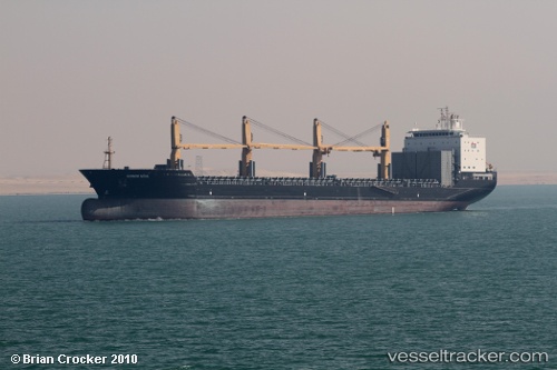
Vessel profile: ATLANTIC VOYAGER II is a General Cargo with dimensions m x m.
This page combines live AIS, route history, probable destination signals, nearby traffic, and port activity for practical vessel monitoring.
The current position of vessel ATLANTIC VOYAGER II is 40.76083 lat / 29.45645 lng. Updated: 2026-05-21 01:01:26 UTCNearest reference points:
- Near YALOVA
- Near Yilport
- Near Diliskelesi
Currently sailing under the flag of Marshall Islands ![]()
Details:
Live Vessel ATLANTIC VOYAGER II Analytics (details, animations, etc.)
Recent AIS points (UTC):
2026-05-20 21:49:26 UTC · 40.75997, 29.45567 · SOG 0.2 kn · COG 298°2026-05-20 22:16:26 UTC · 40.76035, 29.45602 · SOG 0.1 kn · COG 293°
2026-05-21 00:19:27 UTC · 40.76050, 29.45617 · SOG 0.1 kn · COG 291°
2026-05-21 01:01:26 UTC · 40.76083, 29.45645 · SOG 0 kn · COG 276°