 DENIZ
DENIZ
Current Status
Where is the vessel?
DENIZ is currently in Near Taku Bar, based on AIS data received about 15h ago.
Latest AIS update:
Current position: 38.96419° N, 118.06257° E (Near Taku Bar)
Average speed (last 7 days): Loading…
Average speed (last 30 days): Loading…
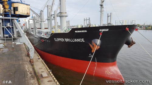
Vessel profile: DENIZ is a Cargo with dimensions m x m.
This page combines live AIS, route history, probable destination signals, nearby traffic, and port activity for practical vessel monitoring.
The current position of vessel DENIZ is 38.96419 lat / 118.06257 lng. Updated: 2026-05-23 08:12:02 UTCNearest reference points:
- Near Dagu Bar
- Near Taku Bar
- Near Tianjin Pt
Currently sailing under the flag of Marshall Islands ![]()
Details:
Live Vessel DENIZ Analytics (details, animations, etc.)
Recent AIS points (UTC):
2026-05-23 05:03:15 UTC · 38.96321, 118.06559 · SOG 0.1 kn · COG 245°2026-05-23 06:03:10 UTC · 38.96320, 118.06558 · SOG 0.1 kn · COG 237°
2026-05-23 07:33:09 UTC · 38.96425, 118.06268 · SOG 0.1 kn · COG 144°
2026-05-23 08:12:02 UTC · 38.96419, 118.06257 · SOG 0.1 kn · COG 139°