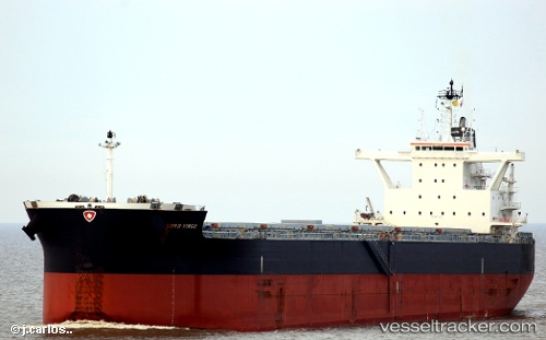
 SEA DAWN
Current Status
Where is the vessel?
SEA DAWN is currently in 212 nm W of La Restinga, based on AIS data received about 15h ago.
Latest AIS update:
Current position: 26.34333° N, 21.68833° W (212 nm W of La Restinga)
Average speed (last 7 days): Loading…
Average speed (last 30 days): Loading…
Vessel profile: SEA DAWN is a Cargo with dimensions m x m.
This page combines live AIS, route history, probable destination signals, nearby traffic, and port activity for practical vessel monitoring.
The current position of vessel SEA DAWN is 26.34333 lat / -21.68833 lng. Updated: 2026-05-21 19:47:04 UTCNearest reference points:
- 119 nm W of Frontera
- 100 nm W of Tijarafe
Currently sailing under the flag of Marshall Islands ![]()
Details:
Live Vessel SEA DAWN Analytics (details, animations, etc.)
Recent AIS points (UTC):
2026-05-21 16:41:09 UTC · 25.91667, -22.24167 · SOG 12 kn · COG -1°2026-05-21 17:43:31 UTC · 26.06633, -22.05963 · SOG 12.8 kn · COG 48°
2026-05-21 19:11:06 UTC · 26.26333, -21.79833 · SOG 12 kn · COG -1°
2026-05-21 19:47:04 UTC · 26.34333, -21.68833 · SOG 12 kn · COG -1°