 BARCARENA
Current Status
Where is the vessel?
BARCARENA is currently in 84 nm N of Nieuw Amsterdam, based on AIS data received about 14h ago.
Latest AIS update:
Current position: 7.19529° N, 54.61265° W (84 nm N of Nieuw Amsterdam)
Average speed (last 7 days): Loading…
Average speed (last 30 days): Loading…
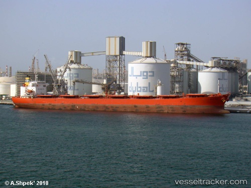
Vessel profile: BARCARENA is a Cabu Carrier with dimensions m x m.
This page combines live AIS, route history, probable destination signals, nearby traffic, and port activity for practical vessel monitoring.
The current position of vessel BARCARENA is 7.19529 lat / -54.61265 lng. Updated: 2026-05-19 09:59:14 UTCNearest reference points:
- 38 nm NW of Jarikaba
- Near Paramaribo Zorg en Hoop Airport
Currently sailing under the flag of Marshall Islands ![]()
Details:
Live Vessel BARCARENA Analytics (details, animations, etc.)
Recent AIS points (UTC):
2026-05-19 07:22:34 UTC · 7.42692, -54.95864 · SOG 9.8 kn · COG 118°2026-05-19 07:29:35 UTC · 7.41636, -54.94268 · SOG 9.7 kn · COG 118°
2026-05-19 09:59:14 UTC · 7.19529, -54.61265 · SOG 9.2 kn · COG 121°
2026-05-19 09:59:14 UTC · 7.19529, -54.61265 · SOG 9.2 kn · COG 121°