 FORTUNE GRACE I
Current Status
Where is the vessel?
FORTUNE GRACE I is currently in 79 nm NE of Dung Quat Petroleum Port, based on AIS data received about 14h ago.
Latest AIS update:
Current position: 16.22333° N, 109.88500° E (79 nm NE of Dung Quat Petroleum Port)
Average speed (last 7 days): Loading…
Average speed (last 30 days): Loading…
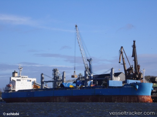
Vessel profile: FORTUNE GRACE I is a Bulk Carrier with dimensions m x m.
This page combines live AIS, route history, probable destination signals, nearby traffic, and port activity for practical vessel monitoring.
The current position of vessel FORTUNE GRACE I is 16.22333 lat / 109.88500 lng. Updated: 2026-05-22 18:16:13 UTCNearest reference points:
- 23 nm E of Hai Son
- Near DUNG QUAT
- Near Thuan An
Currently sailing under the flag of Marshall Islands ![]()
Details:
Live Vessel FORTUNE GRACE I Analytics (details, animations, etc.)
Recent AIS points (UTC):
2026-05-22 13:49:24 UTC · 15.38827, 109.98654 · SOG 11.3 kn · COG -1°2026-05-22 15:55:11 UTC · 15.78167, 109.96833 · SOG 11 kn · COG -1°
2026-05-22 16:01:11 UTC · 15.80160, 109.96689 · SOG 11 kn · COG 356°
2026-05-22 18:16:13 UTC · 16.22333, 109.88500 · SOG 11 kn · COG -1°