 PACIFIC MOON
Current Status
Where is the vessel?
PACIFIC MOON is currently in 31 nm SE of Selsey, based on AIS data received about 27d ago.
Latest AIS update:
Current position: 50.28004° N, 0.42331° W (31 nm SE of Selsey)
Average speed (last 7 days): Loading…
Average speed (last 30 days): Loading…
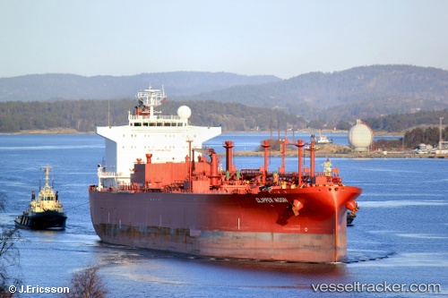
Vessel profile: PACIFIC MOON is a Lpg Tanker with dimensions m x m.
This page combines live AIS, route history, probable destination signals, nearby traffic, and port activity for practical vessel monitoring.
The current position of vessel PACIFIC MOON is 50.28004 lat / -0.42331 lng. Updated: 2026-04-24 17:41:23 UTCNearest reference points:
- 23 nm S of Ferring
- 27 nm S of Seaford
- 15 nm S of Selsey
Currently sailing under the flag of Marshall Islands ![]()
Details:
Live Vessel PACIFIC MOON Analytics (details, animations, etc.)
Recent AIS points (UTC):
2026-04-24 17:41:23 UTC · 50.28004, -0.42331 · SOG 2.7 kn · COG 80°2026-04-24 17:41:23 UTC · 50.28004, -0.42331 · SOG 2.7 kn · COG 80°
2026-04-24 17:41:23 UTC · 50.28004, -0.42331 · SOG 2.7 kn · COG 80°
2026-04-24 17:41:23 UTC · 50.28004, -0.42331 · SOG 2.7 kn · COG 80°
2026-04-24 17:41:23 UTC · 50.28004, -0.42331 · SOG 2.7 kn · COG 80°