 VIKING CARINA
Current Status
Where is the vessel?
VIKING CARINA is currently in 345 nm SE of Abakaliki, based on AIS data received about 16h ago.
Latest AIS update:
Current position: 2.14510° N, 89.93572° E (345 nm SE of Abakaliki)
Average speed (last 7 days): Loading…
Average speed (last 30 days): Loading…
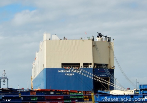
Vessel profile: VIKING CARINA is a Vehicles Carrier with dimensions m x m.
This page combines live AIS, route history, probable destination signals, nearby traffic, and port activity for practical vessel monitoring.
The current position of vessel VIKING CARINA is 2.14510 lat / 89.93572 lng. Updated: 2026-05-18 18:59:41 UTCNearest reference points:
- Open sea, approx. 401 nm off the nearest listed port
- Open sea, approx. 408 nm off the nearest listed port
- Open sea, approx. 402 nm off the nearest listed port
Currently sailing under the flag of Marshall Islands ![]()
Details:
Live Vessel VIKING CARINA Analytics (details, animations, etc.)
Recent AIS points (UTC):
2026-05-18 12:55:50 UTC · 0.93593, 88.44223 · SOG 19.6 kn · COG 48°2026-05-18 17:49:34 UTC · 1.91652, 89.65307 · SOG 18.6 kn · COG -1°
2026-05-18 18:59:41 UTC · 2.14510, 89.93572 · SOG 18.6 kn · COG -1°
2026-05-18 18:59:41 UTC · 2.14510, 89.93572 · SOG 18.6 kn · COG -1°