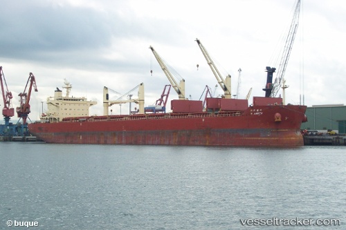
 KASTRO
Current Status
Where is the vessel?
KASTRO is currently in 306 nm W of Porto Grande, based on AIS data received about 15h ago.
Latest AIS update:
Current position: 17.59166° N, 30.28167° W (306 nm W of Porto Grande)
Average speed (last 7 days): Loading…
Average speed (last 30 days): Loading…
Vessel profile: KASTRO is a Bulk Carrier with dimensions m x m.
This page combines live AIS, route history, probable destination signals, nearby traffic, and port activity for practical vessel monitoring.
The current position of vessel KASTRO is 17.59166 lat / -30.28167 lng. Updated: 2026-05-23 05:45:32 UTCNearest reference points:
- 387 nm W of Porto Grande
- Open sea, approx. 400 nm off the nearest listed port
- Open sea, approx. 401 nm off the nearest listed port
Currently sailing under the flag of Marshall Islands ![]()
Details:
Live Vessel KASTRO Analytics (details, animations, etc.)
Recent AIS points (UTC):
2026-05-23 01:51:30 UTC · 18.05333, -29.63667 · SOG 11 kn · COG -1°2026-05-23 01:54:32 UTC · 18.04667, -29.64500 · SOG 12 kn · COG -1°
2026-05-23 03:57:30 UTC · 17.80333, -29.98333 · SOG 11 kn · COG -1°
2026-05-23 05:45:32 UTC · 17.59166, -30.28167 · SOG 11 kn · COG -1°