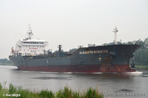
 ELISABETH SCHULTE
Current Status
Where is the vessel?
ELISABETH SCHULTE is currently in 17 nm N of Echt, based on AIS data received about 14h ago.
Latest AIS update:
Current position: 57.40833° N, 2.50167° E (17 nm N of Echt)
Average speed (last 7 days): Loading…
Average speed (last 30 days): Loading…
Vessel profile: ELISABETH SCHULTE is a Oil/Chemical Tanker with dimensions m x m.
This page combines live AIS, route history, probable destination signals, nearby traffic, and port activity for practical vessel monitoring.
The current position of vessel ELISABETH SCHULTE is 57.40833 lat / 2.50167 lng. Updated: 2026-05-23 07:51:54 UTCNearest reference points:
- Near Alba Oil Field
- 19 nm W of Curlew
- 26 nm W of Cleghorn
Currently sailing under the flag of Marshall Islands ![]()
Details:
Live Vessel ELISABETH SCHULTE Analytics (details, animations, etc.)
Recent AIS points (UTC):
2026-05-23 03:54:56 UTC · 58.17333, 2.85833 · SOG 12 kn · COG -1°2026-05-23 05:06:54 UTC · 57.93833, 2.75500 · SOG 12 kn · COG -1°
2026-05-23 07:33:54 UTC · 57.46500, 2.52667 · SOG 11 kn · COG -1°
2026-05-23 07:51:54 UTC · 57.40833, 2.50167 · SOG 11 kn · COG -1°