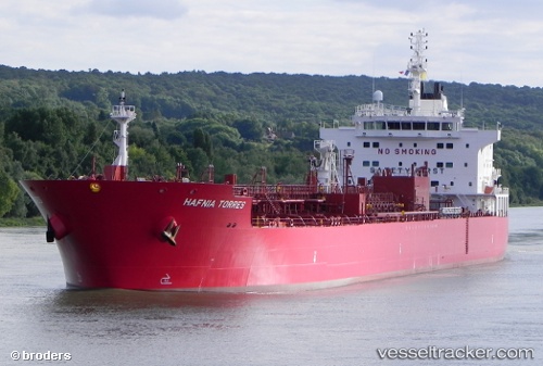
 TORRES
Current Status
Where is the vessel?
TORRES is currently in Near Fos-sur-Mer, based on AIS data received about 14h ago.
Latest AIS update:
Current position: 43.41755° N, 4.88793° E (Near Fos-sur-Mer)
Average speed (last 7 days): Loading…
Average speed (last 30 days): Loading…
Vessel profile: TORRES is a Tanker with dimensions m x m.
This page combines live AIS, route history, probable destination signals, nearby traffic, and port activity for practical vessel monitoring.
The current position of vessel TORRES is 43.41755 lat / 4.88793 lng. Updated: 2026-05-22 19:22:11 UTCNearest reference points:
- Near Fos-sur-Mer
- Near SAINT LOUIS DU RHONE
- Near Marseille
Currently sailing under the flag of Marshall Islands ![]()
Details:
Live Vessel TORRES Analytics (details, animations, etc.)
Recent AIS points (UTC):
2026-05-22 15:39:47 UTC · 43.41756, 4.88794 · SOG 0 kn · COG -1°2026-05-22 16:40:11 UTC · 43.41755, 4.88791 · SOG 0 kn · COG 27°
2026-05-22 17:14:56 UTC · 43.41753, 4.88797 · SOG 0 kn · COG -1°
2026-05-22 19:22:11 UTC · 43.41755, 4.88793 · SOG 0 kn · COG 27°