 vesseltracker.com
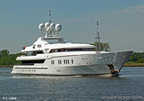
Maria
Current StatusWhere is the vessel?
Maria is currently in Near MARIGOT, based on AIS data received about 14h ago.
Latest AIS update:
Current position: 18.07529° N, 63.09704° W (Near MARIGOT)
Average speed (last 7 days): Loading…
Average speed (last 30 days): Loading…
Vessel profile: Maria is a Service Ship with dimensions 12m x 70m.
This page combines live AIS, route history, probable destination signals, nearby traffic, and port activity for practical vessel monitoring.
The current position of vessel Maria is 18.07529 lat / -63.09704 lng. Updated: 2026-05-18 13:40:13 UTCNearest reference points:
- Near ST MAARTEN
- Near GUSTAVIA
- Near Spanish Town
Details:
Live Vessel Maria Analytics (details, animations, etc.)
Recent AIS points (UTC):
2026-05-18 10:25:13 UTC · 18.07508, -63.09707 · SOG 0.2 kn · COG 75°2026-05-18 12:13:14 UTC · 18.07493, -63.09700 · SOG 0.2 kn · COG 84°
2026-05-18 13:07:15 UTC · 18.07533, -63.09709 · SOG 0.2 kn · COG 106°
2026-05-18 13:40:13 UTC · 18.07529, -63.09704 · SOG 0.6 kn · COG 63°