 vesseltracker.com
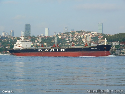
 FEHU
FEHU
Current Status
Where is the vessel?
FEHU is currently in 13 nm SE of SUEZ CANAL, based on AIS data received about 14h ago.
Latest AIS update:
Current position: 30.18783° N, 32.56866° E (13 nm SE of SUEZ CANAL)
Average speed (last 7 days): Loading…
Average speed (last 30 days): Loading…
Vessel profile: FEHU is a Cargo with dimensions m x m.
This page combines live AIS, route history, probable destination signals, nearby traffic, and port activity for practical vessel monitoring.
The current position of vessel FEHU is 30.18783 lat / 32.56866 lng. Updated: 2026-05-18 07:51:15 UTCNearest reference points:
- Near SUEZ CANAL
- Near As Suways (Suez)
- Near SUEZ PORT
Currently sailing under the flag of Marshall Islands ![]()
Details:
Live Vessel FEHU Analytics (details, animations, etc.)
Recent AIS points (UTC):
2026-05-18 04:06:46 UTC · 29.84702, 32.58206 · SOG 0.1 kn · COG 99°2026-05-18 05:50:48 UTC · 29.90609, 32.54616 · SOG 5.4 kn · COG 3°
2026-05-18 07:06:29 UTC · 30.06057, 32.57217 · SOG 9.9 kn · COG 355°
2026-05-18 07:51:15 UTC · 30.18783, 32.56866 · SOG 10 kn · COG 355°