 MAMA CON II
Current Status
Where is the vessel?
MAMA CON II is currently in 22 nm SW of Boac, Marinduque, based on AIS data received about 14h ago.
Latest AIS update:
Current position: 13.12833° N, 121.61500° E (22 nm SW of Boac, Marinduque)
Average speed (last 7 days): Loading…
Average speed (last 30 days): Loading…
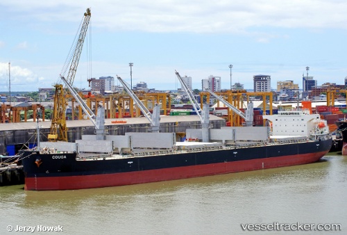
Vessel profile: MAMA CON II is a Bulk Carrier with dimensions m x m.
This page combines live AIS, route history, probable destination signals, nearby traffic, and port activity for practical vessel monitoring.
The current position of vessel MAMA CON II is 13.12833 lat / 121.61500 lng. Updated: 2026-05-22 16:12:50 UTCNearest reference points:
- 12 nm S of Lobo
- Near Lobo
- Near Nasugbu, Luzon
Currently sailing under the flag of Philippines ![]()
Details:
Live Vessel MAMA CON II Analytics (details, animations, etc.)
Recent AIS points (UTC):
2026-05-22 12:07:08 UTC · 13.55458, 120.99222 · SOG 11.2 kn · COG 110°2026-05-22 13:51:38 UTC · 13.45880, 121.29625 · SOG 11.4 kn · COG 128°
2026-05-22 14:12:37 UTC · 13.41582, 121.34965 · SOG 11.6 kn · COG 129°
2026-05-22 16:12:50 UTC · 13.12833, 121.61500 · SOG 12 kn · COG -1°