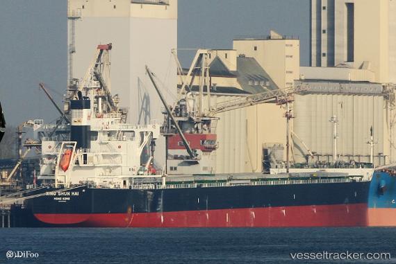
 XING SHUN HAI
Current Status
Where is the vessel?
XING SHUN HAI is currently in 227 nm NW of Caufield North, based on AIS data received about 15h ago.
Latest AIS update:
Current position: 34.80429° S, 12.07970° E (227 nm NW of Caufield North)
Average speed (last 7 days): Loading…
Average speed (last 30 days): Loading…
Vessel profile: XING SHUN HAI is a Cargo with dimensions m x m.
This page combines live AIS, route history, probable destination signals, nearby traffic, and port activity for practical vessel monitoring.
The current position of vessel XING SHUN HAI is -34.80429 lat / 12.07970 lng. Updated: 2026-05-23 01:58:24 UTCNearest reference points:
- 271 nm NW of Caufield North
- 254 nm W of Saldanha Bay
- Open sea, approx. 400 nm off the nearest listed port
Currently sailing under the flag of Singapore ![]()
Details:
Live Vessel XING SHUN HAI Analytics (details, animations, etc.)
Recent AIS points (UTC):
2026-05-22 23:08:03 UTC · -34.92918, 12.75907 · SOG 12.2 kn · COG 278°2026-05-22 23:25:56 UTC · -34.91655, 12.68753 · SOG 12.2 kn · COG 278°
2026-05-23 01:58:24 UTC · -34.80429, 12.07970 · SOG 12 kn · COG 282°
2026-05-23 01:58:24 UTC · -34.80429, 12.07970 · SOG 12 kn · COG 282°