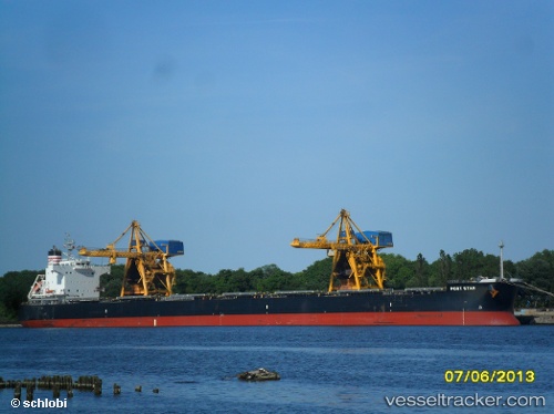
 POLYNESIA QUEEN
Current Status
Where is the vessel?
POLYNESIA QUEEN is currently in 220 nm SE of Richards Bay, based on AIS data received about 15h ago.
Latest AIS update:
Current position: 31.62970° S, 34.90667° E (220 nm SE of Richards Bay)
Average speed (last 7 days): Loading…
Average speed (last 30 days): Loading…
Vessel profile: POLYNESIA QUEEN is a Bulk Carrier with dimensions m x m.
This page combines live AIS, route history, probable destination signals, nearby traffic, and port activity for practical vessel monitoring.
The current position of vessel POLYNESIA QUEEN is -31.62970 lat / 34.90667 lng. Updated: 2026-05-19 08:21:42 UTCNearest reference points:
- 181 nm SE of Hibberdene
- 163 nm SE of Richards Bay
- Open sea, approx. 400 nm off the nearest listed port
Currently sailing under the flag of Singapore ![]()
Details:
Live Vessel POLYNESIA QUEEN Analytics (details, animations, etc.)
Recent AIS points (UTC):
2026-05-19 04:30:50 UTC · -31.81833, 34.10833 · SOG 10 kn · COG -1°2026-05-19 05:49:30 UTC · -31.75126, 34.37420 · SOG 10.7 kn · COG 75°
2026-05-19 07:04:41 UTC · -31.69131, 34.63126 · SOG 11 kn · COG 79°
2026-05-19 08:21:42 UTC · -31.62970, 34.90667 · SOG 11.3 kn · COG 79°