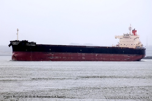
 PAN CERES
Current Status
Where is the vessel?
PAN CERES is currently in 308 nm W of Sao Filipe, based on AIS data received about 14h ago.
Latest AIS update:
Current position: 13.33167° N, 29.54500° W (308 nm W of Sao Filipe)
Average speed (last 7 days): Loading…
Average speed (last 30 days): Loading…
Vessel profile: PAN CERES is a Bulk Carrier with dimensions m x m.
This page combines live AIS, route history, probable destination signals, nearby traffic, and port activity for practical vessel monitoring.
The current position of vessel PAN CERES is 13.33167 lat / -29.54500 lng. Updated: 2026-05-22 20:12:19 UTCNearest reference points:
- Open sea, approx. 400 nm off the nearest listed port
- Open sea, approx. 401 nm off the nearest listed port
- Open sea, approx. 402 nm off the nearest listed port
Currently sailing under the flag of Singapore ![]()
Details:
Live Vessel PAN CERES Analytics (details, animations, etc.)
Recent AIS points (UTC):
2026-05-22 16:25:05 UTC · 13.75127, -30.04936 · SOG 10.2 kn · COG 128°2026-05-22 18:01:17 UTC · 13.57379, -29.82905 · SOG 10.1 kn · COG 129°
2026-05-22 19:36:20 UTC · 13.39333, -29.62333 · SOG 9 kn · COG -1°
2026-05-22 20:12:19 UTC · 13.33167, -29.54500 · SOG 9 kn · COG -1°