 BADGER ISLAND
Current Status
Where is the vessel?
BADGER ISLAND is currently in 31 nm E of SHIDAO, based on AIS data received about 15h ago.
Latest AIS update:
Current position: 36.95548° N, 123.09172° E (31 nm E of SHIDAO)
Average speed (last 7 days): Loading…
Average speed (last 30 days): Loading…
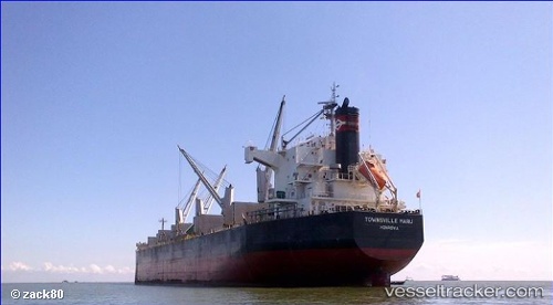
Vessel profile: BADGER ISLAND is a Bulk Carrier with dimensions m x m.
This page combines live AIS, route history, probable destination signals, nearby traffic, and port activity for practical vessel monitoring.
The current position of vessel BADGER ISLAND is 36.95548 lat / 123.09172 lng. Updated: 2026-05-22 22:49:31 UTCNearest reference points:
- 21 nm E of SHIDAO
- 20 nm E of SHIDAO
- 32 nm E of SHIDAO
Currently sailing under the flag of Singapore ![]()
Details:
Live Vessel BADGER ISLAND Analytics (details, animations, etc.)
Recent AIS points (UTC):
2026-05-22 19:54:12 UTC · 37.47015, 122.96097 · SOG 10.9 kn · COG 179°2026-05-22 20:05:11 UTC · 37.43670, 122.96128 · SOG 10.9 kn · COG 180°
2026-05-22 22:18:12 UTC · 37.04220, 123.05185 · SOG 10.9 kn · COG 159°
2026-05-22 22:49:31 UTC · 36.95548, 123.09172 · SOG 10.4 kn · COG 165°