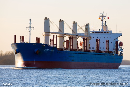
 INCE POINT
Current Status
Where is the vessel?
INCE POINT is currently in 42 nm NW of Fresia, based on AIS data received about 15h ago.
Latest AIS update:
Current position: 40.85476° S, 74.28135° W (42 nm NW of Fresia)
Average speed (last 7 days): Loading…
Average speed (last 30 days): Loading…
Vessel profile: INCE POINT is a Cargo with dimensions m x m.
This page combines live AIS, route history, probable destination signals, nearby traffic, and port activity for practical vessel monitoring.
The current position of vessel INCE POINT is -40.85476 lat / -74.28135 lng. Updated: 2026-05-19 02:16:29 UTCNearest reference points:
- Near Puerto Montt
- Near Chonchi
- Near Quellón (Puerto Quellón)
Currently sailing under the flag of Singapore ![]()
Details:
Live Vessel INCE POINT Analytics (details, animations, etc.)
Recent AIS points (UTC):
2026-05-18 22:40:12 UTC · -41.58917, -74.05117 · SOG 12.5 kn · COG 335°2026-05-18 23:36:23 UTC · -41.40944, -74.15110 · SOG 12.6 kn · COG 337°
2026-05-19 01:51:07 UTC · -40.94143, -74.26111 · SOG 12.8 kn · COG 348°
2026-05-19 02:16:29 UTC · -40.85476, -74.28135 · SOG 12.5 kn · COG 348°