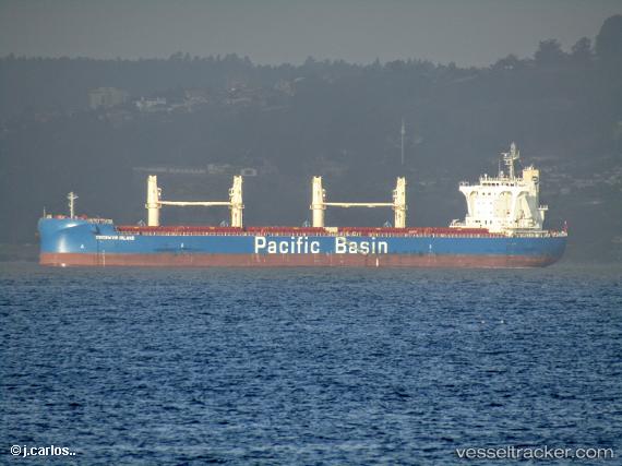
 GOODWYN ISLAND
Current Status
Where is the vessel?
GOODWYN ISLAND is currently in 261 nm NW of Omura, based on AIS data received about 15h ago.
Latest AIS update:
Current position: 29.70245° N, 138.24405° E (261 nm NW of Omura)
Average speed (last 7 days): Loading…
Average speed (last 30 days): Loading…
Vessel profile: GOODWYN ISLAND is a Cargo with dimensions m x m.
This page combines live AIS, route history, probable destination signals, nearby traffic, and port activity for practical vessel monitoring.
The current position of vessel GOODWYN ISLAND is 29.70245 lat / 138.24405 lng. Updated: 2026-05-22 16:32:08 UTCNearest reference points:
- 195 nm SE of Minachi
Currently sailing under the flag of Singapore ![]()
Details:
Live Vessel GOODWYN ISLAND Analytics (details, animations, etc.)
Recent AIS points (UTC):
2026-05-22 13:49:50 UTC · 29.78496, 137.72127 · SOG 10.5 kn · COG 91°2026-05-22 14:12:15 UTC · 29.77333, 137.79333 · SOG 10 kn · COG -1°
2026-05-22 16:15:15 UTC · 29.71167, 138.18500 · SOG 10 kn · COG -1°
2026-05-22 16:32:08 UTC · 29.70245, 138.24405 · SOG 11 kn · COG 100°