 BAHAMAS AGGRESSOR II
Current Status
Where is the vessel?
BAHAMAS AGGRESSOR II is currently in 23 nm NW of West End, based on AIS data received about 1d ago.
Latest AIS update:
Current position: 27.02597° N, 79.16053° W (23 nm NW of West End)
Average speed (last 7 days): Loading…
Average speed (last 30 days): Loading…
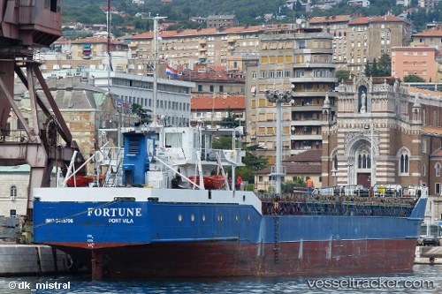
Vessel profile: BAHAMAS AGGRESSOR II is a General Cargo with dimensions m x m.
This page combines live AIS, route history, probable destination signals, nearby traffic, and port activity for practical vessel monitoring.
The current position of vessel BAHAMAS AGGRESSOR II is 27.02597 lat / -79.16053 lng. Updated: 2026-05-18 17:08:09 UTCNearest reference points:
- Near Palm Beach
- Near Juno Beach
- Near North Palm Beach
Currently sailing under the flag of Vanuatu ![]()
Details:
Live Vessel BAHAMAS AGGRESSOR II Analytics (details, animations, etc.)
Recent AIS points (UTC):
2026-05-18 17:08:09 UTC · 27.02597, -79.16053 · SOG 0.5 kn · COG -1°2026-05-18 17:08:09 UTC · 27.02597, -79.16053 · SOG 0.5 kn · COG -1°
2026-05-18 17:08:09 UTC · 27.02597, -79.16053 · SOG 0.5 kn · COG -1°
2026-05-18 17:08:09 UTC · 27.02597, -79.16053 · SOG 0.5 kn · COG -1°