 vesseltracker.com
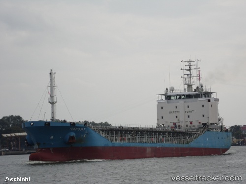
 DEK A
DEK A
Current Status
Where is the vessel?
DEK A is currently in Near Ashdod Bonded, based on AIS data received about 14h ago.
Latest AIS update:
Current position: 31.82253° N, 34.60153° E (Near Ashdod Bonded)
Average speed (last 7 days): Loading…
Average speed (last 30 days): Loading…
Vessel profile: DEK A is a General Cargo with dimensions m x m.
This page combines live AIS, route history, probable destination signals, nearby traffic, and port activity for practical vessel monitoring.
The current position of vessel DEK A is 31.82253 lat / 34.60153 lng. Updated: 2026-05-18 07:15:15 UTCNearest reference points:
- Near AL ARISH
- 22 nm W of Haifa Granaries
- Near Haifa
Currently sailing under the flag of Vanuatu ![]()
Details:
Live Vessel DEK A Analytics (details, animations, etc.)
Recent AIS points (UTC):
2026-05-18 03:46:58 UTC · 31.82285, 34.60182 · SOG 0 kn · COG 303°2026-05-18 04:09:44 UTC · 31.82277, 34.60168 · SOG 0 kn · COG 306°
2026-05-18 05:52:57 UTC · 31.82257, 34.60128 · SOG 0.1 kn · COG 327°
2026-05-18 07:15:15 UTC · 31.82253, 34.60153 · SOG 0 kn · COG 321°