 vesseltracker.com
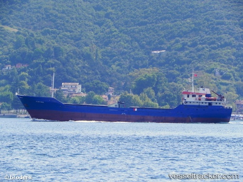
 FIRTINA S
Current Status
Where is the vessel?
FIRTINA S is currently in Near CESME, based on AIS data received about 14h ago.
Latest AIS update:
Current position: 38.31071° N, 26.25240° E (Near CESME)
Average speed (last 7 days): Loading…
Average speed (last 30 days): Loading…
Vessel profile: FIRTINA S is a General Cargo with dimensions m x m.
This page combines live AIS, route history, probable destination signals, nearby traffic, and port activity for practical vessel monitoring.
The current position of vessel FIRTINA S is 38.31071 lat / 26.25240 lng. Updated: 2026-05-18 10:33:50 UTCNearest reference points:
- Near CESME
- 13 nm NW of Karkinagri Ikarias
- Near FOURNI
Currently sailing under the flag of Vanuatu ![]()
Details:
Live Vessel FIRTINA S Analytics (details, animations, etc.)
Recent AIS points (UTC):
2026-05-18 07:13:50 UTC · 38.31207, 26.25282 · SOG 0.3 kn · COG 216°2026-05-18 07:49:50 UTC · 38.31212, 26.25239 · SOG 0.1 kn · COG 168°
2026-05-18 09:40:48 UTC · 38.31076, 26.25254 · SOG 0 kn · COG 5°
2026-05-18 10:33:50 UTC · 38.31071, 26.25240 · SOG 0.2 kn · COG 19°