 LEVIN
LEVIN
Current Status
Where is the vessel?
LEVIN is currently in 58 nm NE of SUR, based on AIS data received about 14h ago.
Latest AIS update:
Current position: 23.23887° N, 60.28907° E (58 nm NE of SUR)
Average speed (last 7 days): Loading…
Average speed (last 30 days): Loading…
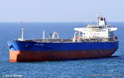
Vessel profile: LEVIN is a Crude Oil Tanker with dimensions m x m.
This page combines live AIS, route history, probable destination signals, nearby traffic, and port activity for practical vessel monitoring.
The current position of vessel LEVIN is 23.23887 lat / 60.28907 lng. Updated: 2026-05-20 21:38:36 UTCNearest reference points:
- 52 nm NE of SUR
- 23 nm NE of Qalhat
- 97 nm S of Chabahar
Currently sailing under the flag of Cameroon ![]()
Details:
Live Vessel LEVIN Analytics (details, animations, etc.)
Recent AIS points (UTC):
2026-05-20 15:32:44 UTC · 22.23910, 60.36492 · SOG 10.8 kn · COG 17°2026-05-20 16:50:05 UTC · 22.45793, 60.43617 · SOG 10 kn · COG 349°
2026-05-20 17:59:25 UTC · 22.64587, 60.40937 · SOG 9.7 kn · COG 349°
2026-05-20 21:38:36 UTC · 23.23887, 60.28907 · SOG 10.3 kn · COG 311°