 BOLU
BOLU
Current Status
Where is the vessel?
BOLU is currently in Near Panamburu, based on AIS data received about 14h ago.
Latest AIS update:
Current position: 12.97151° N, 74.65919° E (Near Panamburu)
Average speed (last 7 days): Loading…
Average speed (last 30 days): Loading…
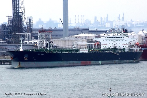
Vessel profile: BOLU is a Oil Products Tanker with dimensions m x m.
This page combines live AIS, route history, probable destination signals, nearby traffic, and port activity for practical vessel monitoring.
The current position of vessel BOLU is 12.97151 lat / 74.65919 lng. Updated: 2026-05-22 08:04:08 UTCNearest reference points:
- 17 nm NW of Panamburu
- Near PANAMBUR
- Near Mangalore
Currently sailing under the flag of Cameroon ![]()
Details:
Live Vessel BOLU Analytics (details, animations, etc.)
Recent AIS points (UTC):
2026-05-22 04:22:01 UTC · 12.97094, 74.65966 · SOG 0.3 kn · COG 235°2026-05-22 05:49:01 UTC · 12.97161, 74.65866 · SOG 0.1 kn · COG 186°
2026-05-22 07:40:04 UTC · 12.97147, 74.65916 · SOG 0.2 kn · COG 201°
2026-05-22 08:04:08 UTC · 12.97151, 74.65919 · SOG 0 kn · COG 202°