 NOSU
NOSU
Current Status
Where is the vessel?
NOSU is currently in 11 nm N of Viinistu Sadam, based on AIS data received about 14h ago.
Latest AIS update:
Current position: 59.82479° N, 25.80220° E (11 nm N of Viinistu Sadam)
Average speed (last 7 days): Loading…
Average speed (last 30 days): Loading…
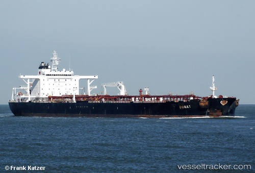
Vessel profile: NOSU is a Crude Oil Tanker with dimensions m x m.
This page combines live AIS, route history, probable destination signals, nearby traffic, and port activity for practical vessel monitoring.
The current position of vessel NOSU is 59.82479 lat / 25.80220 lng. Updated: 2026-05-18 18:23:48 UTCNearest reference points:
- 13 nm N of Viinistu Sadam
- Near Vessölandet
- Near Vuosaari (Nordsjö)
Currently sailing under the flag of Cameroon ![]()
Details:
Live Vessel NOSU Analytics (details, animations, etc.)
Recent AIS points (UTC):
2026-05-18 13:32:47 UTC · 59.82566, 25.80192 · SOG 0 kn · COG 42°2026-05-18 15:59:47 UTC · 59.82497, 25.80473 · SOG 0 kn · COG 358°
2026-05-18 16:56:47 UTC · 59.82464, 25.80399 · SOG 0 kn · COG 2°
2026-05-18 18:23:48 UTC · 59.82479, 25.80220 · SOG 0 kn · COG 20°