 JI HANG
Current Status
Where is the vessel?
JI HANG is currently in 15 nm NE of Mahu Sadam, based on AIS data received about 14h ago.
Latest AIS update:
Current position: 59.71207° N, 24.00854° E (15 nm NE of Mahu Sadam)
Average speed (last 7 days): Loading…
Average speed (last 30 days): Loading…
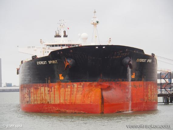
Vessel profile: JI HANG is a Crude Oil Tanker with dimensions m x m.
This page combines live AIS, route history, probable destination signals, nearby traffic, and port activity for practical vessel monitoring.
The current position of vessel JI HANG is 59.71207 lat / 24.00854 lng. Updated: 2026-05-20 13:49:49 UTCNearest reference points:
- Near Mahu Sadam
- Near Ristna
- Near Aegna
Currently sailing under the flag of Cameroon ![]()
Details:
Live Vessel JI HANG Analytics (details, animations, etc.)
Recent AIS points (UTC):
2026-05-20 10:15:39 UTC · 59.89045, 25.38916 · SOG 11.9 kn · COG 261°2026-05-20 11:38:19 UTC · 59.83655, 24.85119 · SOG 12.1 kn · COG 255°
2026-05-20 13:04:10 UTC · 59.75666, 24.30430 · SOG 12 kn · COG 253°
2026-05-20 13:49:49 UTC · 59.71207, 24.00854 · SOG 12.4 kn · COG 253°