 NEVAH
NEVAH
Current Status
Where is the vessel?
NEVAH is currently in 168 nm NE of Suqutrá, based on AIS data received about 14h ago.
Latest AIS update:
Current position: 14.27667° N, 56.22559° E (168 nm NE of Suqutrá)
Average speed (last 7 days): Loading…
Average speed (last 30 days): Loading…
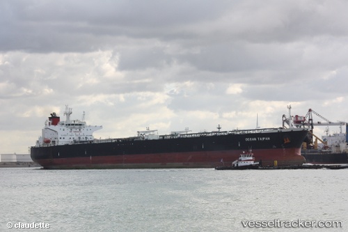
Vessel profile: NEVAH is a Crude Oil Tanker with dimensions m x m.
This page combines live AIS, route history, probable destination signals, nearby traffic, and port activity for practical vessel monitoring.
The current position of vessel NEVAH is 14.27667 lat / 56.22559 lng. Updated: 2026-05-21 22:15:11 UTCNearest reference points:
- 103 nm S of Port Raysut
Currently sailing under the flag of Cameroon ![]()
Details:
Live Vessel NEVAH Analytics (details, animations, etc.)
Recent AIS points (UTC):
2026-05-21 19:00:41 UTC · 14.18418, 56.85286 · SOG 12.1 kn · COG 279°2026-05-21 20:15:12 UTC · 14.21961, 56.61488 · SOG 11.6 kn · COG 277°
2026-05-21 22:00:41 UTC · 14.26914, 56.27237 · SOG 11 kn · COG 280°
2026-05-21 22:15:11 UTC · 14.27667, 56.22559 · SOG 11.5 kn · COG 281°