 ZEKO Y
Current Status
Where is the vessel?
ZEKO Y is currently in 52 nm NE of Atakka Dry Port, based on AIS data received about 15h ago.
Latest AIS update:
Current position: 32.78265° N, 33.61879° E (52 nm NE of Atakka Dry Port)
Average speed (last 7 days): Loading…
Average speed (last 30 days): Loading…
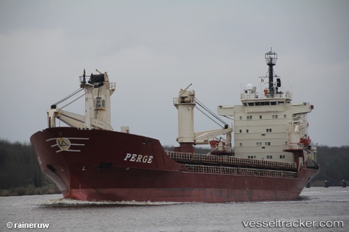
Vessel profile: ZEKO Y is a General Cargo with dimensions m x m.
This page combines live AIS, route history, probable destination signals, nearby traffic, and port activity for practical vessel monitoring.
The current position of vessel ZEKO Y is 32.78265 lat / 33.61879 lng. Updated: 2026-05-22 07:10:09 UTCNearest reference points:
- 17 nm E of Atakka Dry Port
- 22 nm W of Haifa Granaries
- 24 nm SW of Atakka Dry Port
Currently sailing under the flag of Comoros ![]()
Details:
Live Vessel ZEKO Y Analytics (details, animations, etc.)
Recent AIS points (UTC):
2026-05-22 04:13:18 UTC · 32.27576, 33.59432 · SOG 10 kn · COG -1°2026-05-22 06:14:51 UTC · 32.62167, 33.61167 · SOG 10 kn · COG -1°
2026-05-22 07:10:09 UTC · 32.78265, 33.61879 · SOG 10.4 kn · COG -1°
2026-05-22 07:10:09 UTC · 32.78265, 33.61879 · SOG 10.4 kn · COG -1°