 ROZI
ROZI
Current Status
Where is the vessel?
ROZI is currently in 15 nm W of Fier, based on AIS data received about 15h ago.
Latest AIS update:
Current position: 40.77320° N, 19.24324° E (15 nm W of Fier)
Average speed (last 7 days): Loading…
Average speed (last 30 days): Loading…
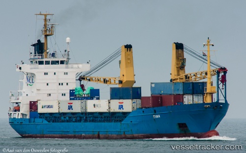
Vessel profile: ROZI is a General Cargo with dimensions m x m.
This page combines live AIS, route history, probable destination signals, nearby traffic, and port activity for practical vessel monitoring.
The current position of vessel ROZI is 40.77320 lat / 19.24324 lng. Updated: 2026-05-22 23:26:03 UTCNearest reference points:
- 22 nm W of Fier
- Near Durres
- Near Agios Athanasios
Currently sailing under the flag of Comoros ![]()
Details:
Live Vessel ROZI Analytics (details, animations, etc.)
Recent AIS points (UTC):
2026-05-22 20:00:43 UTC · 41.25431, 19.36655 · SOG 8.4 kn · COG 188°2026-05-22 21:45:53 UTC · 41.00384, 19.29818 · SOG 8.4 kn · COG 193°
2026-05-22 23:08:02 UTC · 40.81580, 19.24683 · SOG 8.3 kn · COG 180°
2026-05-22 23:26:03 UTC · 40.77320, 19.24324 · SOG 8.5 kn · COG 191°