 vesseltracker.com
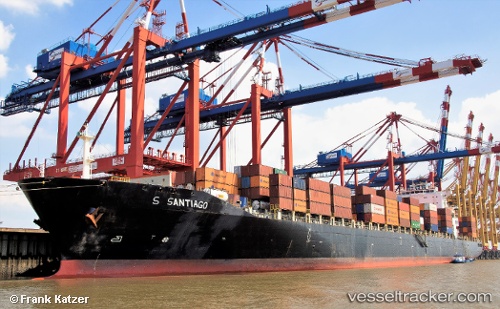
 NUPY 5
Current Status
Where is the vessel?
NUPY 5 is currently in 77 nm W of Okha, based on AIS data received about 15h ago.
Latest AIS update:
Current position: 22.86333° N, 67.75833° E (77 nm W of Okha)
Average speed (last 7 days): Loading…
Average speed (last 30 days): Loading…
Vessel profile: NUPY 5 is a Container Ship with dimensions m x m.
This page combines live AIS, route history, probable destination signals, nearby traffic, and port activity for practical vessel monitoring.
The current position of vessel NUPY 5 is 22.86333 lat / 67.75833 lng. Updated: 2026-05-18 04:14:24 UTCNearest reference points:
- 13 nm W of Måndvi
- 84 nm SW of Keti Bandar
- 49 nm S of Positra
Currently sailing under the flag of Comoros ![]()
Details:
Live Vessel NUPY 5 Analytics (details, animations, etc.)
Recent AIS points (UTC):
2026-05-18 01:26:38 UTC · 22.86377, 67.75857 · SOG 0.1 kn · COG 233°2026-05-18 01:56:37 UTC · 22.86350, 67.75873 · SOG 0 kn · COG 243°
2026-05-18 04:08:39 UTC · 22.86356, 67.75873 · SOG 0 kn · COG 245°
2026-05-18 04:14:24 UTC · 22.86333, 67.75833 · SOG 0 kn · COG -1°