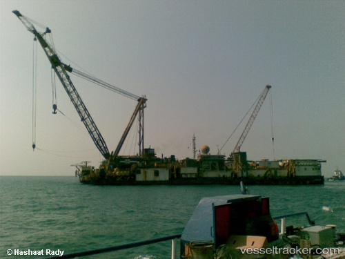
 PMS 12
Current Status
Where is the vessel?
PMS 12 is currently in 27 nm NE of Port Said, based on AIS data received about 14h ago.
Latest AIS update:
Current position: 31.50616° N, 32.75906° E (27 nm NE of Port Said)
Average speed (last 7 days): Loading…
Average speed (last 30 days): Loading…
Vessel profile: PMS 12 is a Towing > 200m OR Breadth > 25m with dimensions m x m.
This page combines live AIS, route history, probable destination signals, nearby traffic, and port activity for practical vessel monitoring.
The current position of vessel PMS 12 is 31.50616 lat / 32.75906 lng. Updated: 2026-05-22 18:00:18 UTCNearest reference points:
- 14 nm N of Port Said
- 16 nm N of Port Said
- 24 nm SW of Atakka Dry Port
Currently sailing under the flag of Egypt ![]()
Details:
Live Vessel PMS 12 Analytics (details, animations, etc.)
Recent AIS points (UTC):
2026-05-22 12:07:29 UTC · 31.50616, 32.75907 · SOG 0 kn · COG -1°2026-05-22 14:54:25 UTC · 31.50618, 32.75903 · SOG 0 kn · COG 322°
2026-05-22 16:10:30 UTC · 31.50618, 32.75906 · SOG 0 kn · COG 322°
2026-05-22 18:00:18 UTC · 31.50616, 32.75906 · SOG 0 kn · COG 322°