 FINA A
Current Status
Where is the vessel?
FINA A is currently in 12 nm N of Khambhaliya, based on AIS data received about 14h ago.
Latest AIS update:
Current position: 22.55023° N, 69.60196° E (12 nm N of Khambhaliya)
Average speed (last 7 days): Loading…
Average speed (last 30 days): Loading…
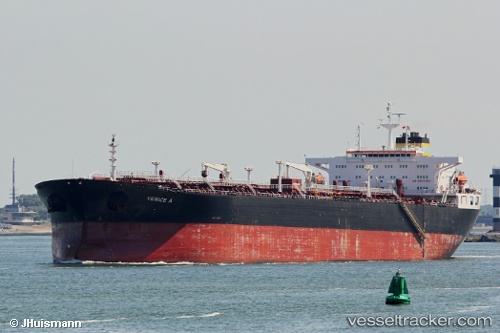
Vessel profile: FINA A is a Crude Oil Tanker with dimensions m x m.
This page combines live AIS, route history, probable destination signals, nearby traffic, and port activity for practical vessel monitoring.
The current position of vessel FINA A is 22.55023 lat / 69.60196 lng. Updated: 2026-05-23 06:06:45 UTCNearest reference points:
- Near SIKKA
- Near Khambhaliya
- Near Sika
Currently sailing under the flag of Equatorial Guinea ![]()
Details:
Live Vessel FINA A Analytics (details, animations, etc.)
Recent AIS points (UTC):
2026-05-23 02:36:48 UTC · 22.55072, 69.60628 · SOG 0 kn · COG 254°2026-05-23 03:39:50 UTC · 22.55198, 69.60399 · SOG 0.2 kn · COG 178°
2026-05-23 04:09:54 UTC · 22.55144, 69.60250 · SOG 0 kn · COG 136°
2026-05-23 06:06:45 UTC · 22.55023, 69.60196 · SOG 0 kn · COG 50°