 MAKALU
Current Status
Where is the vessel?
MAKALU is currently in 69 nm SE of SHIDAO, based on AIS data received about 14h ago.
Latest AIS update:
Current position: 36.26787° N, 123.64955° E (69 nm SE of SHIDAO)
Average speed (last 7 days): Loading…
Average speed (last 30 days): Loading…
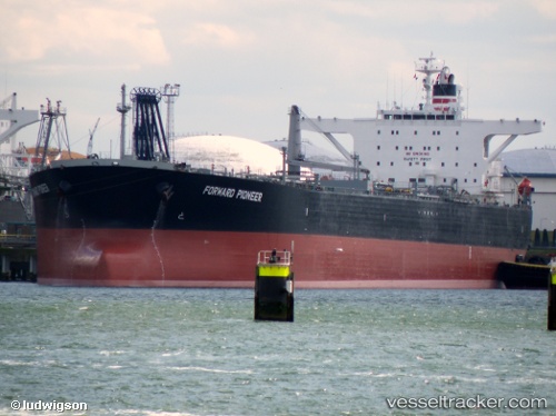
Vessel profile: MAKALU is a Crude Oil Tanker with dimensions m x m.
This page combines live AIS, route history, probable destination signals, nearby traffic, and port activity for practical vessel monitoring.
The current position of vessel MAKALU is 36.26787 lat / 123.64955 lng. Updated: 2026-05-22 21:59:14 UTCNearest reference points:
- 72 nm SE of Shidao Pt
- 59 nm SE of SHIDAO
- 56 nm SE of SHIDAO
Currently sailing under the flag of Equatorial Guinea ![]()
Details:
Live Vessel MAKALU Analytics (details, animations, etc.)
Recent AIS points (UTC):
2026-05-22 17:55:29 UTC · 35.37204, 123.70478 · SOG 13.3 kn · COG -1°2026-05-22 19:39:44 UTC · 35.75696, 123.69232 · SOG 13.1 kn · COG -1°
2026-05-22 19:57:53 UTC · 35.81473, 123.69159 · SOG 13.1 kn · COG -1°
2026-05-22 21:59:14 UTC · 36.26787, 123.64955 · SOG 13.1 kn · COG -1°