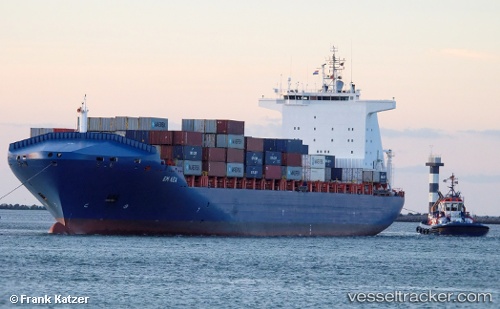
 Em Kea
Current Status
Where is the vessel?
Em Kea is currently in 16 nm W of Ile D’Ouessant, based on AIS data received about 14h ago.
Latest AIS update:
Current position: 48.59262° N, 5.87987° W (16 nm W of Ile D’Ouessant)
Average speed (last 7 days): Loading…
Average speed (last 30 days): Loading…
Vessel profile: Em Kea is a Container Ship with dimensions 220m x 33m.
This page combines live AIS, route history, probable destination signals, nearby traffic, and port activity for practical vessel monitoring.
The current position of vessel Em Kea is 48.59262 lat / -5.87987 lng. Updated: 2026-05-22 23:47:17 UTCNearest reference points:
- 16 nm NW of Ile D’Ouessant
- 35 nm SW of Ile D’Ouessant
- 18 nm NE of Ile D’Ouessant
Currently sailing under the flag of Liberia ![]()
Em Kea built in 2007 year
Deadweight:
42166 tDetails:
Live Vessel Em Kea Analytics (details, animations, etc.)
Recent AIS points (UTC):
2026-05-22 20:23:50 UTC · 48.42667, -6.94333 · SOG 12 kn · COG -1°2026-05-22 22:14:57 UTC · 48.51430, -6.35511 · SOG 12.8 kn · COG 76°
2026-05-22 22:32:18 UTC · 48.52633, -6.26412 · SOG 12.7 kn · COG 76°
2026-05-22 23:47:17 UTC · 48.59262, -5.87987 · SOG 12.2 kn · COG 58°